The introduction of 4D visualization techniques in geological studies represents a significant leap forward in how geologists examine and understand the Earth's dynamic systems. This technology, which incorporates the dimension of time with traditional three-dimensional imaging, allows for a real-time and dynamic exploration of geological processes. This capability is changing the landscape of geological research, enhancing both the accuracy and the scope of studies in various sub-disciplines of geology.
Enhanced Predictive Capabilities
One of the most profound impacts of 4D visualization is seen in the field of natural disaster prediction and management. For example, the ability to visualize the progression of volcanic activity over time can lead to more precise predictions about when a volcano might erupt. This can improve evacuation strategies, potentially saving thousands of lives. Similarly, in earthquake-prone areas, 4D models can help scientists better understand fault line activities and anticipate seismic events with greater accuracy.
.png)
Improved Resource Management
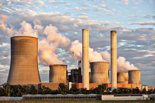
In industries such as oil and gas, 4D visualization is proving indispensable for reservoir management. Traditional static models provide a snapshot in time, but 4D models allow geologists to see how reservoirs evolve as extraction occurs. This can lead to more efficient extraction strategies that maximize output while minimizing environmental disruption.
Environmental and Climate Research
4D visualization is also pivotal in environmental geology, where it is used to study the effects of climate change on geological processes. For instance, by tracking how sediment transport changes over time, geologists can better understand and predict the impacts of rising sea levels and increased storm frequency on coastal areas. This information is crucial for developing strategies to mitigate the impact of climate change on vulnerable ecosystems and human populations.
Challenges to Overcome
Despite its benefits, the adoption of 4D visualization technology comes with challenges. The primary hurdle is the sheer volume of data required to build accurate 4D models. This data must be meticulously collected, processed, and analyzed, necessitating advanced software and significant computational resources. Moreover, there is a need for specialized training for geologists and students to efficiently use and interpret these complex models.
The Future of Geological Studies
Looking ahead, the role of 4D visualization in geological sciences is set to grow. As computational power increases and data collection methods improve, these models will become even more detailed and comprehensive. This progress promises not only to enhance our understanding of geological phenomena but also to foster a new era of collaboration and communication in the geosciences. Interactive 4D models could soon be central tools in educational settings, bringing complex geological concepts to life for students and facilitating more advanced research in academic and commercial settings.
In conclusion, 4D visualization is reshaping the field of geology, providing powerful new tools for prediction, management, and education. As this technology continues to evolve, it will likely unlock further potentials in understanding the planet's past, present, and future dynamics, significantly contributing to the fields of disaster readiness, resource management, and environmental conservation.